Radiation detection drones: the sky is not the limit
SCK CEN and SABCA prove new, precise measurement technique with test flight
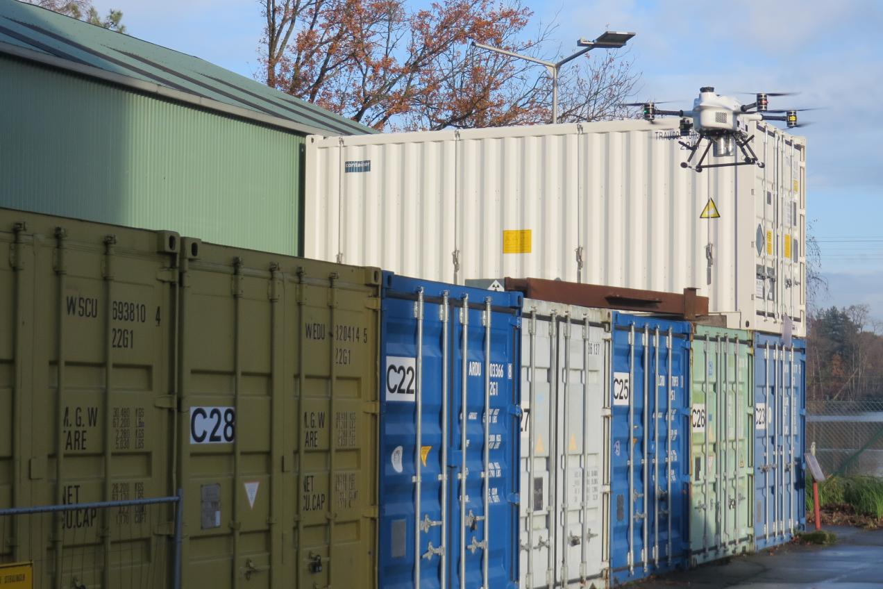
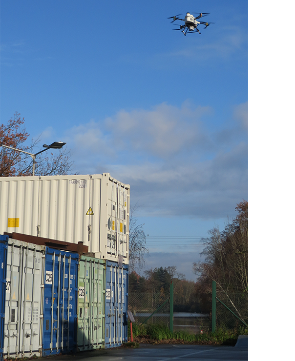
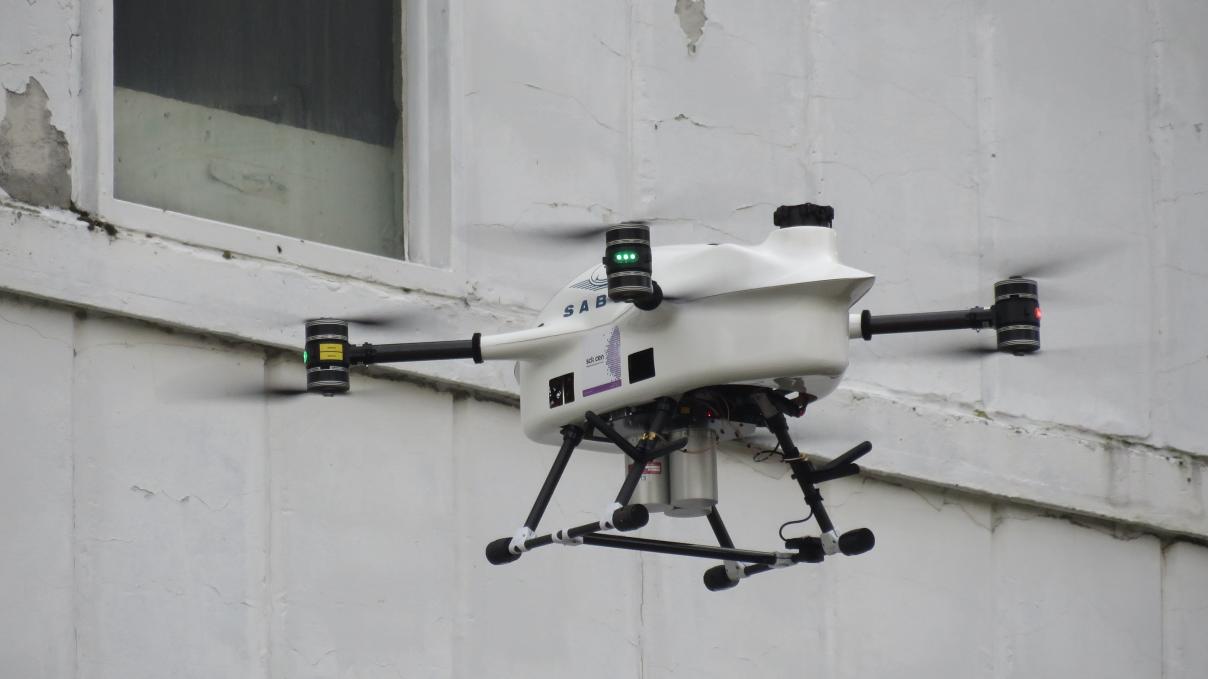
Demonstrating that drones can map radioactivity over a nuclear site or larger area - that is the mission of Belgian nuclear research centre SCK CEN and aerospace specialist SABCA. Last year, we already presented our first 'radiation detection drone' together. Now we are also showing images of the heavier artillery. Indeed, in December 2022, the 'X-8 multicopter drone' made its first extensive test flight. Equipped with 3 rugged CsI (Cesium Iodide Scintillation) detectors, it mapped radiation levels over our own BR3 site.


BR3: another beacon of innovation
Feel free to describe SABCA's multicopter drone as a small helicopter with one or more rotor blades. It moves with great flexibility and direction and can carry SCK CEN's heavier radiation detectors. Together, they are the ideal tools for mapping radiation levels above nuclear sites. Experts recently tested the set-up in a large-scale experiment above the site of the former BR3 reactor in Mol. That reactor has largely been decommissioned, although structures that emit ionising radiation are still present.
"The ideal place to test the drones as well as detectors is our own site," says SCK CEN researcher Geert Olyslaegers. "We know the radiological situation on our domain very well, which makes it easy for us to calibrate the detectors and fully adjust the measurements from the air."
No sooner said than done. The test flight - dated 7 December 2022 - was a hit. The combination of detectors and drone identified the radioactive source, qualified AND quantified the radiation and produced a special visualisation of the contamination.
On to the final
Now that the test flight of the multicopter drone is over, the experts involved are starting the final sprint of the BUDDAWAK research project*. The finale? The upcoming flight of the 'fixed wing drone' over SCK CEN's entire site later this year. Geert Olyslaegers says: "That flight will be the exam for our drone, which has to complete long measurement flights. On its return, all measurement results must match exactly the values we obtain via other radiological measuring instruments."
Only then did SCK CEN and SABCA succeed in proving that drones can indeed measure radiation values in detail.

So what is the benefit of the drones?
Upon completion of the research project, industry and government can rely on the unique detector system in the drones. Its industrial applicability is particularly valuable in the context of decommissioning operations or surveillance programmes in and around nuclear facilities. Admittedly, many measurement technologies already exist to map radiological situations or to monitor sites more rigorously, but drones significantly increase the efficiency, frequency and spatial visibility of those measurements.
"Above all, there is no longer any need for human intervention in high-risk areas, so you protect yourself at all times while being able to measure much longer, cheaper and better," concludes Geert Olyslaegers.
*The BUDDAWAK project is an innovative project on the use of drones and is funded by the Energy Transition Fund (ETF) of the FPS Economy, which encourages and supports energy research, development and innovation.
Related articles
- 17 April '24
 30 August '23
 13 December '22